24 May 2022
Discover Trails in Davis: Flag Rock Trail

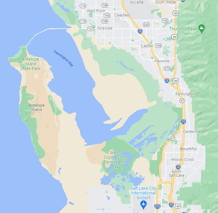
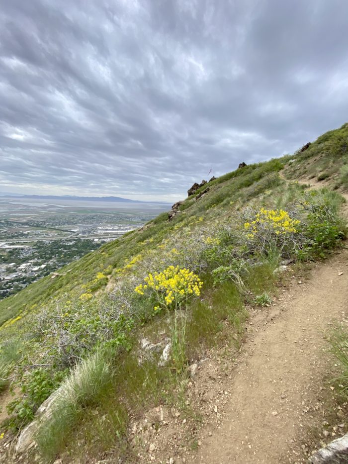
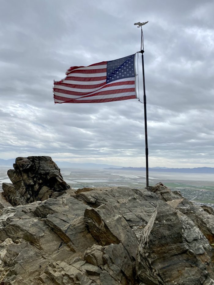
The Flag Rock Trail is a hike in the Wasatch foothills in Farmington, Utah that features an American flag, memorializing those lost in the 9/11 attacks.
The flag was placed on the mountainside by Randy West to serve as a memory of the emergency personnel and those who perished in the 9/11 attacks. The hike to the flag symbolizes the climb the rescuers took up the Twin Tower stairs since the elevators were unusable. There are several access points that can make this trail less steep and more shaded than the direct climb and more suitable for younger children.
Trail Information
Access Point: 100 N. (Patsy’s Mine Route)
-
- Difficulty: Moderate
- Distance: 1.5-miles
- Elevation Gain: 1,916 feet
- Time: 1 hr – 1.5 hrs
- Trail Type: Dirt, out-and-back
- Fees: None
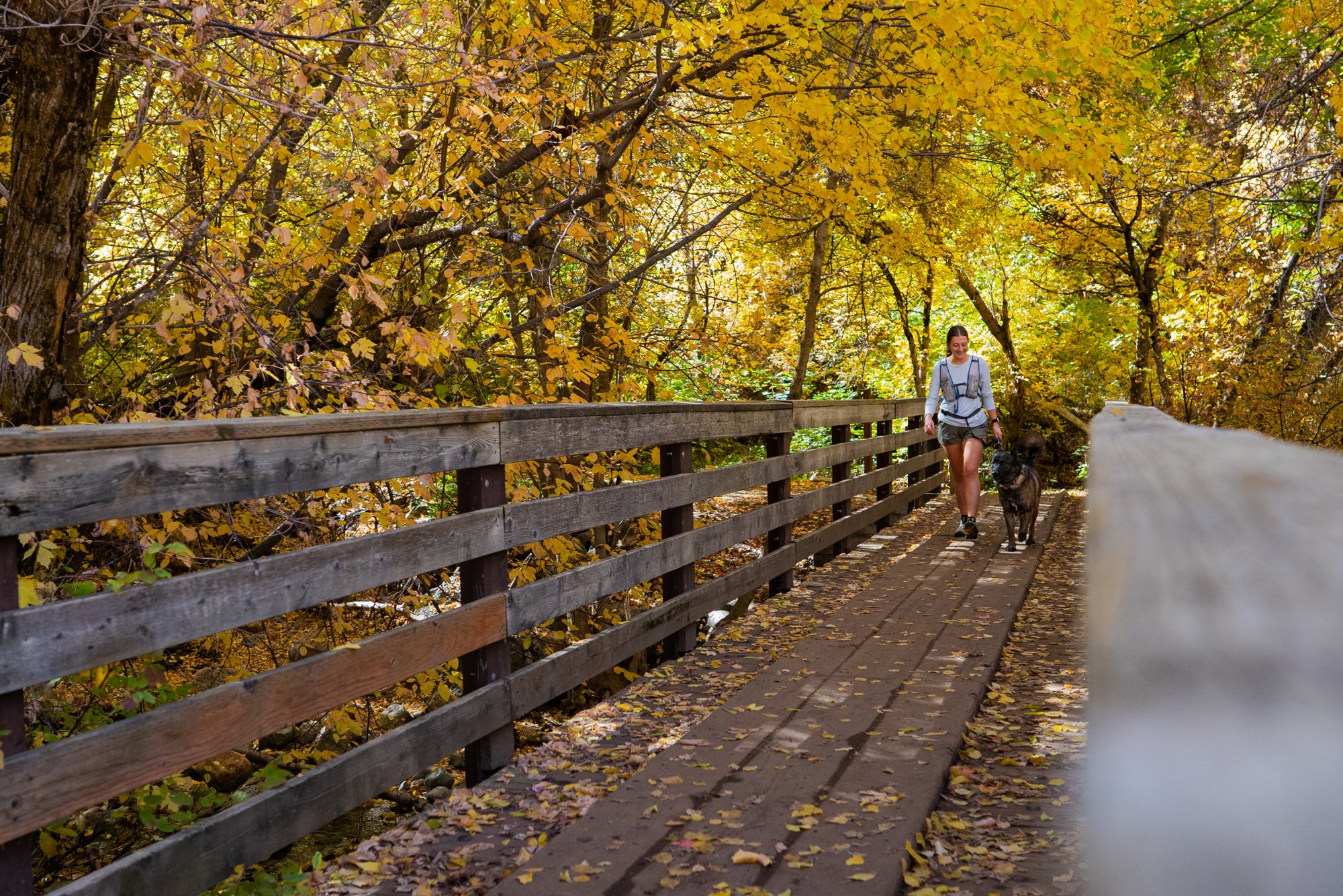
- Dogs: Allowed
- Parking: No parking lot
- Restroom: None
- Trailhead Coordinates: 40.981957, -111.879482
Access Point: 100 N. (Fire Break Rd.)
-
- Difficulty: Moderate
- Distance: 4.0-miles
- Elevation Gain: 1,916 feet
- Time: 2 hr – 2.5 hrs
- Trail Type: Dirt, out-and-back
- Fees: None
- Dogs: Allowed
- Parking: No parking lot
- Restroom: None
- Trailhead Coordinates: 40.981957, -111.879482
Access Point: Farmington Canyon
-
- Difficulty: Moderate
- Distance:
- Make it a loop: 4.4-miles
- Elevation Gain: 1,315 feet
- Time: 2 hr – 2.5 hrs
- Trail Type: Dirt, out-and-back
- Fees: None
- Dogs: Allowed
- Parking: Yes
- Restroom: None
- Trailhead Coordinates: 40.999656, -111.879354
There are several access points for this trail that can make it longer or shorter, with some routes offering more shade and less unforgiving switchbacks. If you’re looking for a more gradual elevation gain, take the route from the Fire Break Road, which adds more mileage to the hike but is more manageable and your starting point is the same.
There is no designated parking lot (unless coming from Farmington Canyon) and the trailhead coordinates will take you to a residential cul-de-sac with limited parking availability. Please be respectful of noise and parking to minimize any disturbance to residents. There are trail markers and the most direct route is a very steep but shorter option – most opt for the longer option that takes the Fire Break Road which is more family-friendly but takes longer. The route doesn’t offer much shade so keep that in mind if hiking in the summer heat and plan accordingly with water, sunglasses, and good sun coverage.
Plan to spend some time at the top which offers incredible views of Davis County and has a nice bench to reflect on the events of 9/11.

Did You Know?
The height from the top of 100 N. to the flag is the same as the height of the Twin Towers before their collapse.
Are you ready to hit the trail?
-

Hike Responsibly
Be a Smart Hiker -
Leave No Trace
Pack in – Pack out -

Respect the Locals
Wildlife Awareness