30 June 2021
Discover Trails in Davis: Thurston Peak (via Francis Peak Rd)

A summer of hiking across Davis County leads to the County’s highest point: Thurston Peak! This is an 8.5-mile intermediate level trail that is great for experienced hikers or those looking for an all-day adventure.
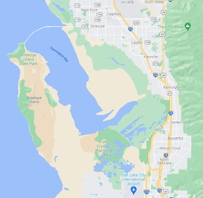
This trail starts near Francis Peak and offers an adventure before you even step out of the car. To reach the start of this trail, you’ll want to head up the beautiful Farmington Canyon. The road up Farmington Canyon is not paved but typically well maintained. However, the road is narrow and a large portion does not have side rails, so the drive is an adventure in itself!
Did you know?
There are wildflowers along the trail, but remember to leave no trace and leave the flowers where they are.
Trail Information
-
-
- Difficulty: Intermediate
- Distance: 7.6-miles
- Elevation Gain: 1,998 feet
- Time:
- Trail Type: Rocky / Out-and-back
- Fees: None
- Dogs: Allowed
- Parking:
- Restroom:
- Trailhead Coordinates:
-
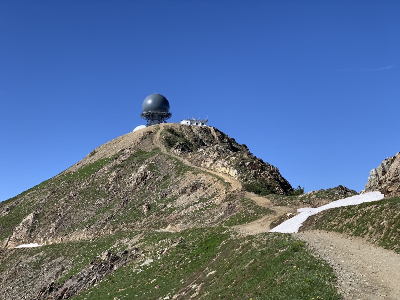
After about 8 miles on Farmington Canyon, the road will turn into a narrow dirt road best suited for 4WD vehicles with high clearance. A smaller car may be able to safely handle this road but road conditions vary greatly depending on how frequently it has been used and if there has been rainfall recently. After approximately 12 miles, you will be nearing the “golf balls” (radio towers) and Francis Peak, this is where it is best to park.
Near where you park, there will be a trail to your right. It is best to follow along with that trail and follow along the east side of the radio towers, otherwise, you’ll be summiting Francis Peak along the way. The first 1.8 miles will be a rugged ATV dirt road. If you have an ATV, truck, or other high clearance vehicle, you can continue to drive along this trail to save time. Snow may stick around until mid to late July, making ATV travel difficult. Be sure to plan ahead and prepare!
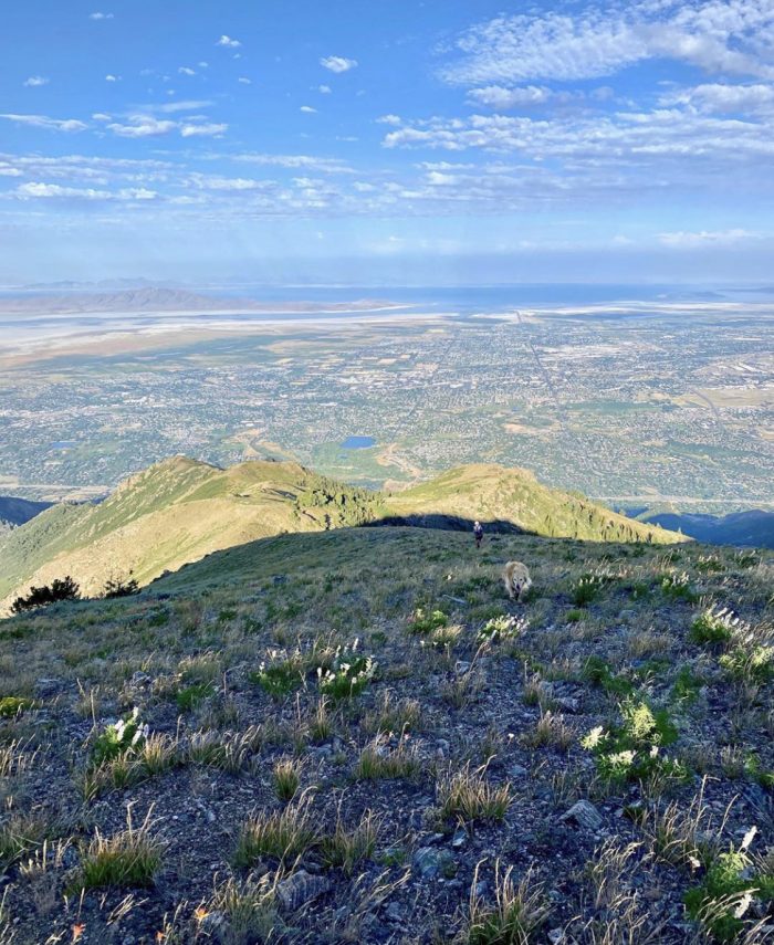
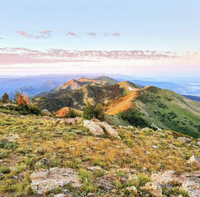
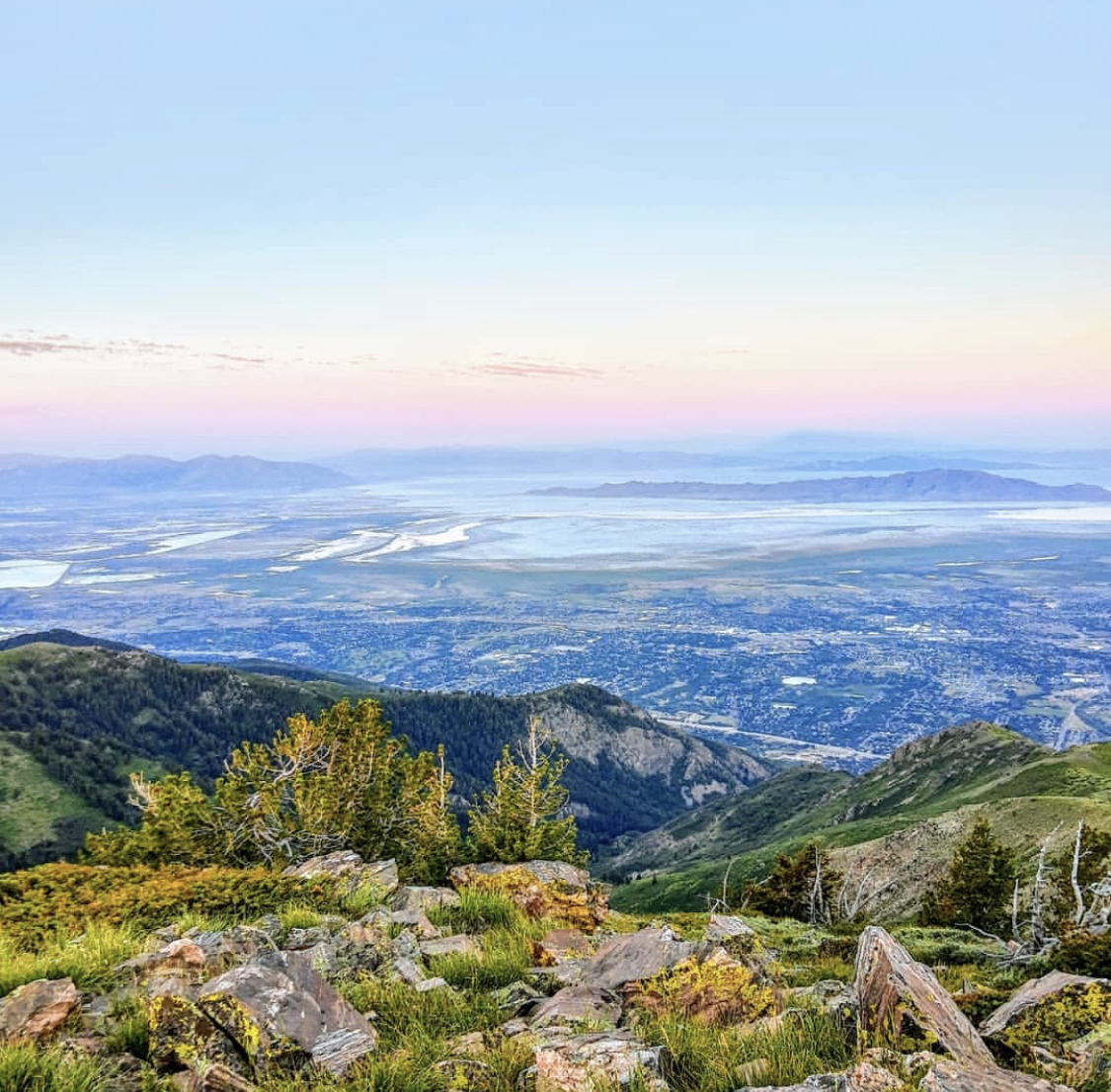
The rest of the trail takes you above the tree line and along the ridgeline of the mountain range. The trail is mostly rolling hills, so expect frequent elevation changes and steep hills, even on the way back. There is also little to no shade on this hike. If hiking in late spring or early summer, you may encounter snow at high elevations so spikes or trekking poles are recommended.
Cool Fact Alert
These “golf balls” are actually radio towers!
Are you ready to hit the trail?
-
Hike Responsibly
Be a Smart Hiker -

Leave No Trace
Pack in – Pack out -
Respect the Locals
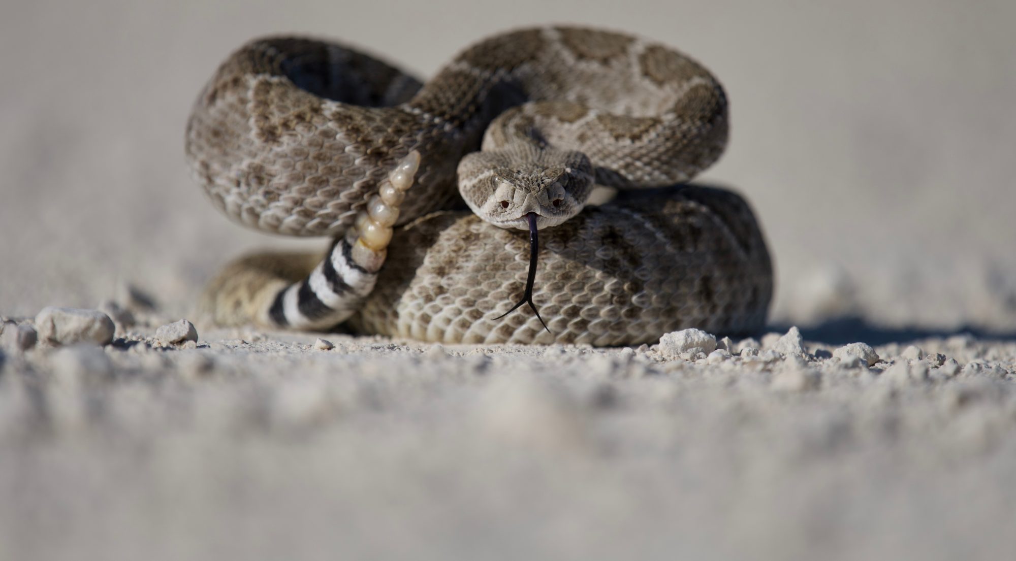
Wildlife Awareness